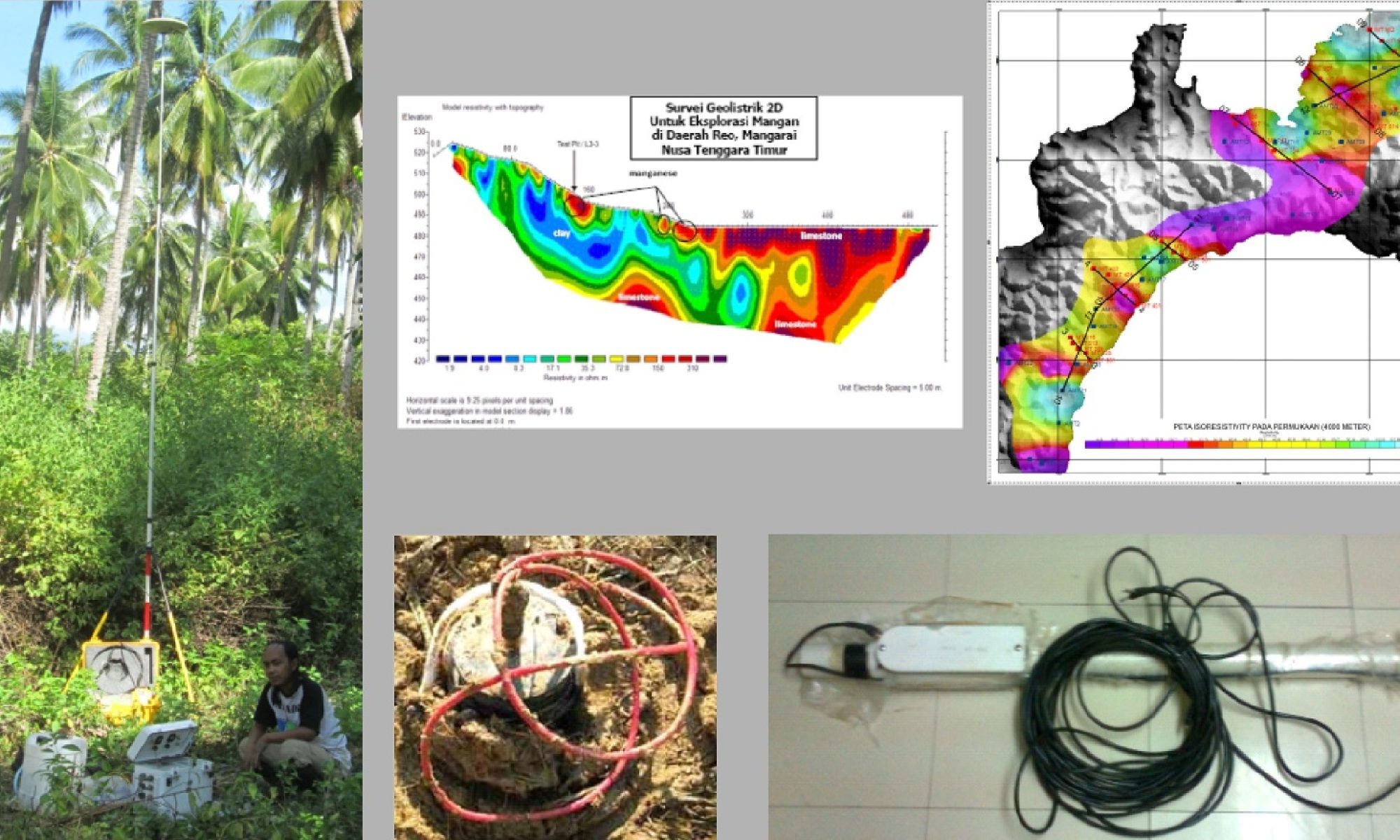

Resistivity survey is a geophysical method that is used to predict the subsurface conditions, such as for ground water, coal, gold, mining exploration, underground river system, engineering projects, environmental projects.
Basic analysis of the geoelectric survey is to know the resistivity value of any material, vertically up to the desired depth. Based on the results of the estimation, we can trace minerals deposit, subsurface structure, groundwater, caves, or ancient relics. The data obtained from the survey results is geoelectric resistivity properties of the material are electrified. Resistivity material can be determined by flowing electric currents into the earth.
We use Zonge System and Ares Resistivity meter to provide full digital acquisition and full-colour plotting of results in the field together with using of 2D inversion software.