
Services

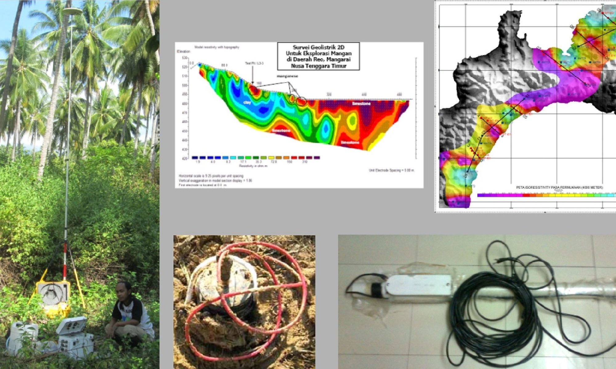
Geophysical survey and geological survey at fields, here some services and experiences we did in Indonesia and abroad.

Topographic Survey

Topographic Survey (Mapping) is carried out with the aim of creating a topographic map that contains the latest information on the state of the land surface or mapped area, the information presented includes physical conditions/details both natural and man-made as well as relief conditions (high and low) the land surface or area of the measurement area.

In practice, topographic surveys are usually carried out on construction work which includes relatively large areas such as drainage or road planning work. Topo survey too carried out in plantation and mining planning both for exploitation planning as well as exploration. PT Ekuator Geosains Indonesia can provide the above topographic survey services for plantations, mining and construction.

Oil and Gas Exploration

Oil and gas—or hydrocarbon—exploration involves activities aimed at locating hydrocarbon reserves, such as crude oil and natural gas, by gathering geological data from petroleum experts, geophysicists, and geoscientists. The oil exploration process comprises several stages, beginning with the initial exploration phase. This phase encompasses geological studies, geophysical studies, and exploratory drilling.

Geological studies involve detailed surface mapping—particularly where outcrops are present—to map rock distribution and formations, rock age, mineral content, fossils, geochemistry, stratigraphy, sedimentology, and geological structures. These activities help characterize subsurface conditions and facilitate more effective subsequent exploration by ensuring the completeness and accuracy of G&G (Geology & Geophysics/Geoscience) data. PT Ekuator Geosains Indonesia provides exploration survey services, specializing in non-seismic geophysical surveys (Gravity, Electrical, Magnetic, and Electromagnetic methods such as MT, AMT, and CSAMT).

Photogrammetry (UAV)

There are various mapping techniques, one of which involves the use of Unmanned Aerial Vehicles (UAVs). A UAV is an aircraft that operates via remote control by a pilot or through autonomous systems; it is capable of carrying payloads such as still cameras, video cameras, weapons, or other equipment. Currently, UAVs are widely used for aerial mapping surveys, aeromagnetic surveys, and the monitoring or inspection of targets on the Earth’s surface.

Fully autonomous (autopilot) UAVs are employed for these tasks, allowing the target object, flight altitude, flight path, and image overlap (both forward and side overlap) to be pre-programmed for data acquisition according to specific requirements. The process begins with a pre-acquisition phase—involving mission planning—followed by the field data acquisition phase carried out by the UAV.

The subsequent stage is data processing. The output of this processing is an orthophoto map, which can further be used to generate 3D models—specifically Digital Surface Models (DSMs)—and contour maps in various file formats.

Data Processing

Exploration geophysics involves data acquisition, data processing, and reporting. Prior to processing, it is necessary to verify the data and the parameters used during field acquisition. Geophysical data processing itself is a stage requiring specialized expertise and time, drawing upon advanced knowledge in earth sciences and computational methods. Subsequently, the processed data undergo analysis, evaluation, and interpretation, supported by supplementary data and the expertise of qualified professionals in the fields of geophysics, geology, and geochemistry.

PT Ekuator Geosains Indonesia provides the aforementioned data processing services for the following methods: Geoelectrics (IP, Geoelectric Resistivity), Geomagnetics, Electromagnetics (MT, AMT, CSAMT, and TEM/TDEM), Gravity, and GPR (Ground Penetrating Radar).