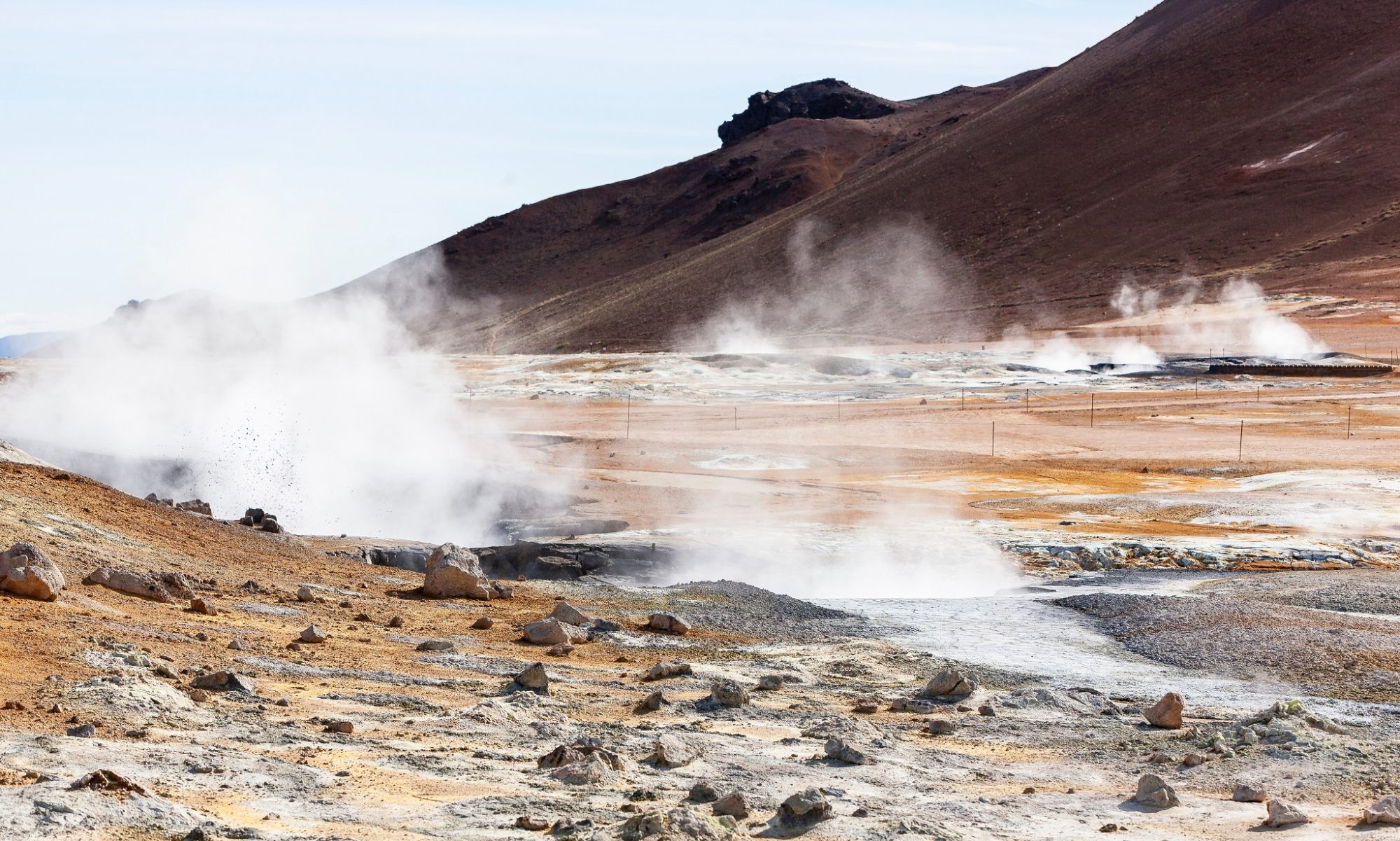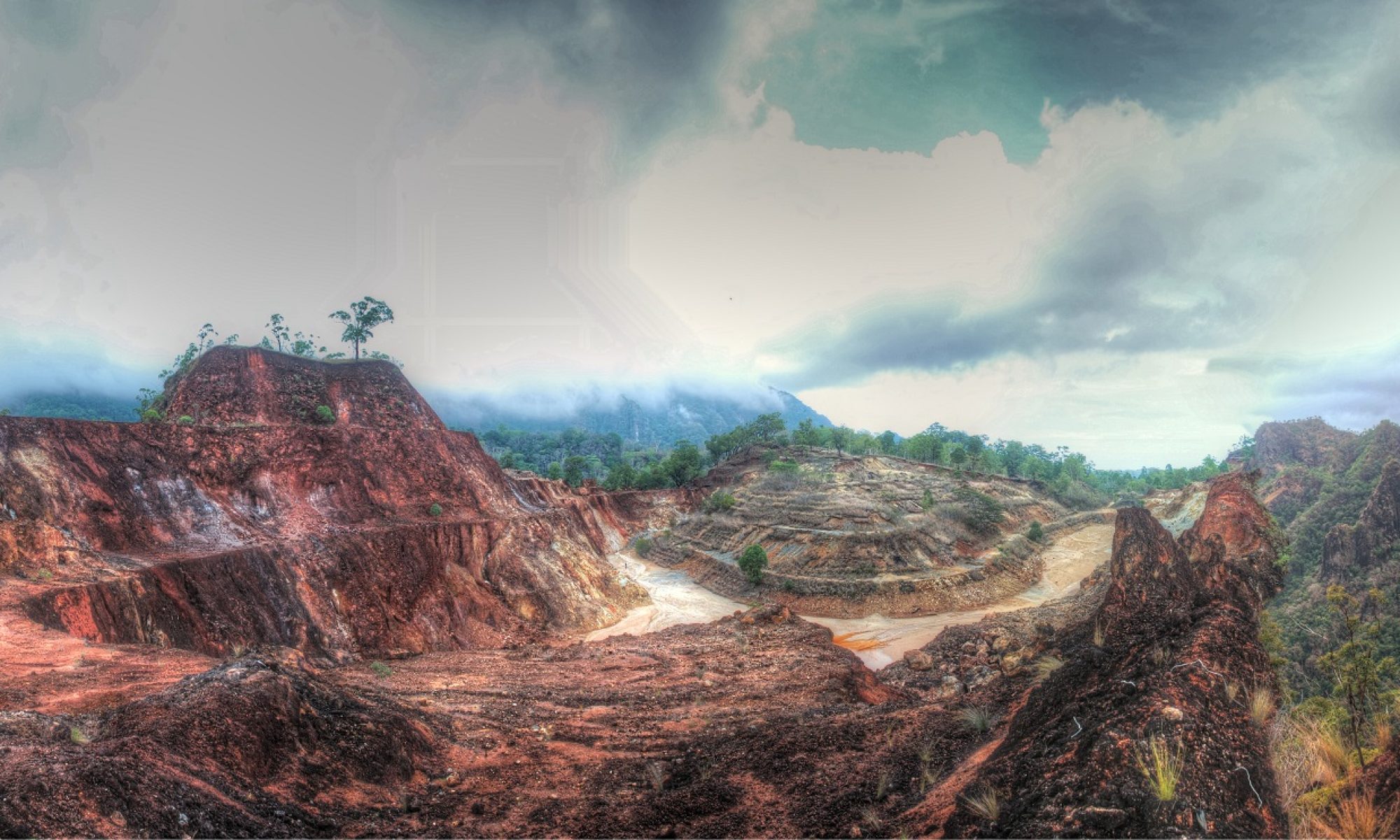

Gravity studies use changes in densities to characterize subsurface properties. This method is well applied when identifying dense subsurface anomalies including granite bodies, which are vital to locate in the geothermal exploration projects. Subsurface fault lines are also identifiable with gravity methods. These faults are often identified as prime drilling locations as their densities are much less than surrounding material. Changes in groundwater levels may also be measured and identified with gravity method. This recharge element is imperative in creating productive geothermal systems. Pore density and subsequent overall density are affected by fluid flow and therefore change the gravitational field. When correlated with current weather conditions, this can be measured and modeled to estimate the rate of recharge in geothermal reservoirs.
CSAMT/ Magnetotellurics (MT) measurements allow detection of resistivity anomalies associated with productive geothermal structures, including faults and the presence of a cap rock, and allow for estimation of geothermal reservoir temperatures at various depths. CSAMT/ MT have successfully contributed to the successful mapping and development of geothermal resources around the world since the early 1980s. Geological materials are generally poor electrical conductors and have a high resistivity. However, hydrothermal fluids in the pores and fractures of the earth increase the conductivity of the subsurface material. This change in conductivity is used to map the subsurface geology and estimate the subsurface material composition.
Magnetic method in geothermal exploration involves identifying the depth of the curie point or curie temperature. At the curie point, materials will change from ferromagnetic to paramagnetic. Locating curie temperatures for known subsurface materials provides estimates on future plant productivity. For example, titanomagnetite, a common material in geothermal fields, has a curie temperature between 200-570 degrees Celsius. Simple geometric anomalies modeled at different depths are used to best estimate the curie depth.